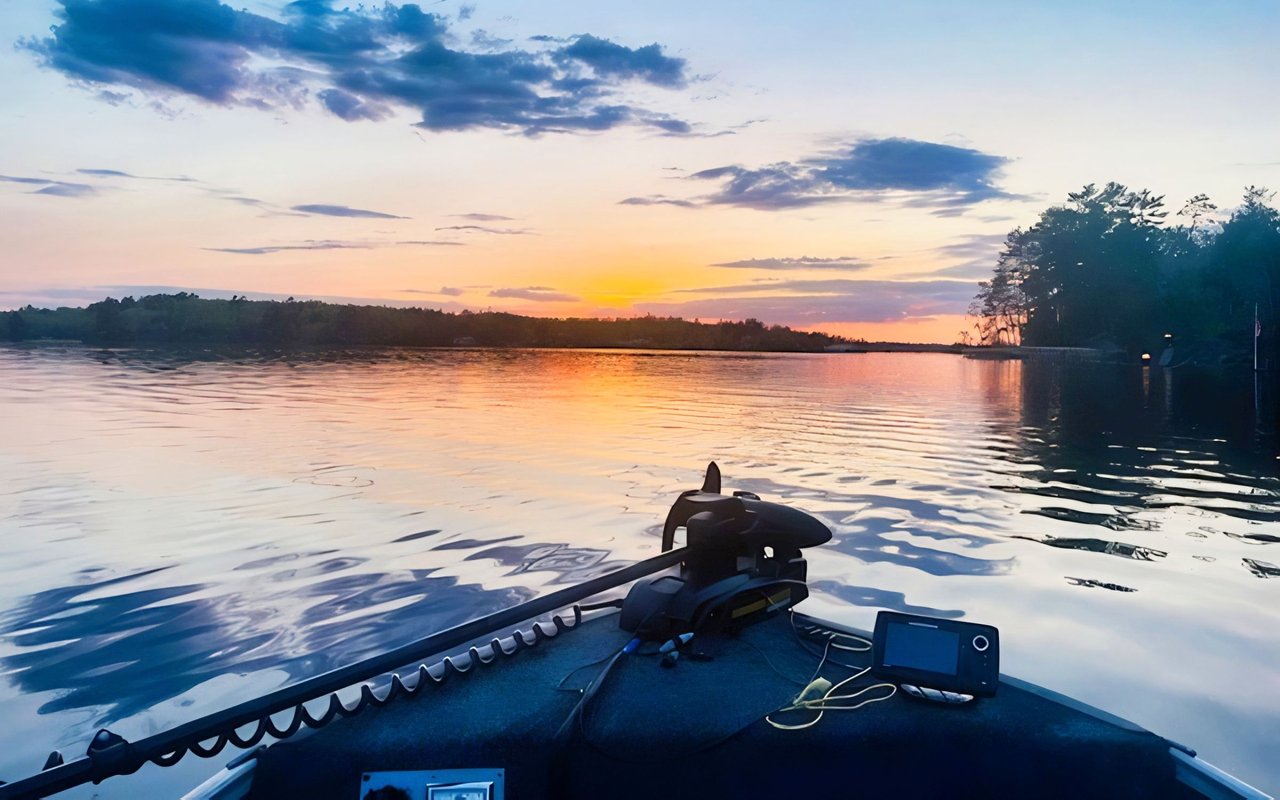
If you own recreational land near Tower, you already know the setting does a lot of the talking. With millions of acres of nearby public and private recreation land, buyers are often drawn in by hunting access, trail use, and the Up North feel. But scenery alone is not what gets a parcel sold with confidence. The real advantage comes from making the land easy to understand, easy to access, and easy to verify. Let’s dive in.
Why clarity matters near Tower
The Tower area sits in a recreation-focused part of northern Minnesota. The Minnesota DNR notes that its Tower wildlife work area spans more than 3 million acres across northern St. Louis and Lake Counties, with Wildlife Management Areas, state forests, county forests, the Superior National Forest, and the Boundary Waters Canoe Area Wilderness all part of the broader landscape. The same area reports that 75% is open to public hunting, which shapes how many buyers think about recreational land.
That means your parcel is not competing on beauty alone. Buyers may be comparing your land to a long list of public and private options for hunting, trail riding, camping, and seasonal cabin use. The parcels that stand out are usually the ones that feel simple, usable, and well-documented.
Lake Vermilion-Soudan Underground Mine State Park also adds to the area’s recreational appeal, with shoreline, trails, camping, mine history, and OHV amenities across 40,557 acres. For sellers, that context matters because many buyers are shopping for a basecamp lifestyle as much as a piece of land.
Start with access and ownership
One of the first things buyers want to know is simple: How do I get there, and what exactly am I buying? If your answer is not clear right away, interest can cool fast.
St. Louis County’s Recorder and Registrar of Titles office maintains real estate documents and title certificates, and property in the county can be either abstract or Torrens. The county also provides GIS parcel and geospatial data, and county records are the best source for current ownership details.
Before you list, it helps to gather your key ownership and access documents into one clean packet. That can save buyers from having to piece together facts from multiple offices and can make your listing feel more credible from the start.
What to gather first
A strong starting packet often includes:
- Recorded deed or legal description
- Current parcel map or plat-book page
- Any recorded easements
- Title status information, if relevant
- Notes that explain how the parcel is reached
If your recreational land is landlocked or depends on a road, driveway, or trail that crosses state land, this step becomes even more important. The Minnesota DNR says users must have a lease or easement to cross state land in those situations, and route changes may be required to reduce resource impacts.
Make the land easy to walk and map
A buyer should not have to guess where your property begins and ends. When someone pulls up for a showing, uncertainty about lines, corners, or trail routes can make the parcel feel harder to own.
The Minnesota DNR’s land survey work highlights how boundaries are established through historical survey and property records, along with legal descriptions. For your sale, that means a current survey, visible corner markers, and a simple map of trails or access points can do a lot of heavy lifting.
You do not always need an elaborate presentation. But you do want a buyer to be able to step out of the truck and quickly understand what they are seeing.
Helpful prep before photos and showings
Consider taking these steps before your listing goes live:
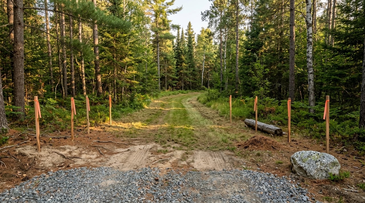
- Refresh or confirm corner markers if available
- Mow or clear key entry points and main trails
- Create a simple trail or access map
- Mark parking or turn-around areas if the parcel has them
- Note wetlands, water features, or terrain changes clearly
This is especially useful for hunting and trail parcels. Recreational buyers often make fast first impressions based on whether they can picture using the land right away.
Post and manage access thoughtfully
If your parcel is used for hunting or trail activity, posting and showing it properly can help set expectations for visitors and buyers. It also helps you manage tours more smoothly.
Minnesota DNR trespass guidance says landowners only need to post once a year. Signs should be placed at intervals of 1,000 feet, or 500 feet in wooded areas, or at primary corners and access points. The signs should say No Trespassing and include owner or manager contact information in 2-inch letters.
This matters during the selling process because buyers often want to walk a recreational tract on their own timeline. Clear posting helps communicate boundaries and permissions while still allowing you to guide showings in an orderly way.
Use location context the right way
One of the biggest selling points near Tower is the surrounding recreation network. Public land, hunting areas, state forests, trail systems, and nearby parks all help buyers understand why a parcel is appealing.
The Minnesota DNR’s map tools include layers for hunting, water access, state parks, Wildlife Management Areas, and other public land features. That context can help you show how your property fits into the wider outdoor setting without making claims that go beyond the parcel itself.
What buyers like to see
When you market recreational land, it can help to show:
- Where the parcel sits relative to public land
- Nearby trail or access systems
- General proximity to parks or recreation features
- The parcel’s current use, such as hunting, trail riding, or seasonal camping
The goal is not to overpromise. The goal is to help buyers quickly understand the lifestyle and use pattern the land supports.
Be careful with cabin-site claims
A common mistake in land sales is assuming a parcel can be marketed as a future cabin site without verified information. Near Tower, that can create problems if shoreland rules, septic requirements, or zoning limitations affect what can actually be built.
St. Louis County Planning & Zoning administers land use and onsite wastewater ordinances. The county’s Onsite Wastewater division administers Subsurface Sewage Treatment System Ordinance 61, and local rules can vary. That means septic and site-evaluation information should be treated as verified facts, not guesses.
If you want to suggest cabin or homesite potential, it is wise to have supporting records ready. Buyers are more likely to trust a listing that clearly separates confirmed information from future possibilities.
Verify these items before marketing build potential
If your parcel may attract cabin-site buyers, try to confirm:
- Whether a site evaluation or septic record exists
- Whether zoning affects intended use
- Whether shoreland rules apply
- Whether setbacks or vegetation rules may matter
- Whether access supports future development plans
This kind of prep protects you and helps your listing stand out as thoughtful and credible.
Understand shoreland and subdivision issues
Even if your parcel is not directly on the water, shoreland standards may still affect how the property can be used. The Minnesota DNR says Minnesota’s shoreland standards are minimum zoning standards administered through local ordinances.
St. Louis County’s zoning rules are also being updated, which is a good reminder not to rely on old assumptions or outdated printouts. If a buyer may ask about setbacks, vegetation, or permitted uses near lakes or rivers, your best move is to have current county-based information ready.
Large parcels also raise another question: can the land be split later? St. Louis County says nearly all land divisions in Minnesota are regulated by local authorities, and county Ordinance 60 governs subdivision outside municipalities.
So if a buyer may view your land as a future split or development opportunity, treat that as a separate verification issue. A parcel being attractive for recreation does not automatically mean it is simple to divide.
Review assessor records before listing
Another smart step is reviewing your assessor information early. The St. Louis County Assessor estimates market value and classifies property by use, and Minnesota law requires each parcel to be viewed at least once every five years.
Annual valuation notices give you a chance to review parcel data and correct issues before the listing is active. That can help prevent confusion over acreage, classification, or improvement records once buyers start asking questions.
If your recreational land has had changes over time, this step can be especially helpful. Clean records support cleaner conversations.
Build a better seller packet
When recreational land is prepared well, the marketing feels stronger because the facts are easier to trust. Near Tower, where many buyers are comparing multiple parcels and often shopping from a distance, that matters.
A strong listing packet for recreational land often includes:
- Recorded deed or legal description
- Current parcel map or plat-book page
- Any recorded easements
- Recent survey or marked corners
- Trail and access notes
- Septic or site-evaluation records, if build potential is part of the story
- Shoreland or zoning information that affects use
If your land is subject to a conservation easement, that should be disclosed clearly and separately. The Minnesota DNR defines a conservation easement as a legal agreement that permanently limits land use to protect natural, recreational, forest, agricultural, or open-space values.
The goal is to remove guesswork
Selling recreational land near Tower is often less about flashy marketing and more about reducing uncertainty. Buyers want to know where they can go, what they can do, how they can get there, and which answers are already verified.
That is where local experience matters. When your listing combines strong presentation with clean documentation, it becomes easier for buyers to picture ownership and easier for you to move toward a smoother transaction.
If you are getting ready to sell recreational acreage near Tower or around Lake Vermilion, Chessica Olson can help you position the property clearly, market it professionally, and guide the details that matter in this unique northern Minnesota market.
FAQs
What should you do first when selling recreational land near Tower?
- Start by gathering the recorded deed, legal description, parcel map, and any easement documents so buyers can clearly understand ownership and access.
Why is access so important for recreational land in St. Louis County?
- Access is a major value factor because buyers want to know exactly how they will enter and use the land, especially if roads, driveways, or trails cross other property or state land.
Should you market Tower-area land as a cabin site without verification?
- No. Septic, zoning, shoreland, and site-evaluation details should be confirmed through the proper county records before build potential is presented as fact.
What maps help buyers understand recreational land near Tower?
- A current parcel map, plat-book page, survey if available, and a simple trail or access map can help buyers understand boundaries and how the land is used.
Can a large recreational parcel near Tower be split later?
- Maybe, but land division is regulated by local authorities, so subdivision or lot-split potential should be verified separately instead of assumed.
Why do marked corners matter when selling recreational acreage?
- Visible corners and boundaries make the property easier to tour, easier to trust, and easier for buyers to picture using right away.