What if the part of Lake Vermilion you choose matters just as much as the home itself? On a lake this large, your boating routine can change dramatically from bay to bay, whether you picture long scenic runs, quick fishing trips, or quiet mornings near a protected dock. If you are searching for Lake Vermilion homes for sale, understanding how the lake is laid out can help you narrow your options with more confidence. Let’s dive in.
Why Lake Vermilion Feels So Different
Lake Vermilion is not a one-note lake. Minnesota DNR data places it at 39,271 acres, 37 miles from end to end, with 365 islands, 341 shoreline miles, and a maximum depth of 76 feet.
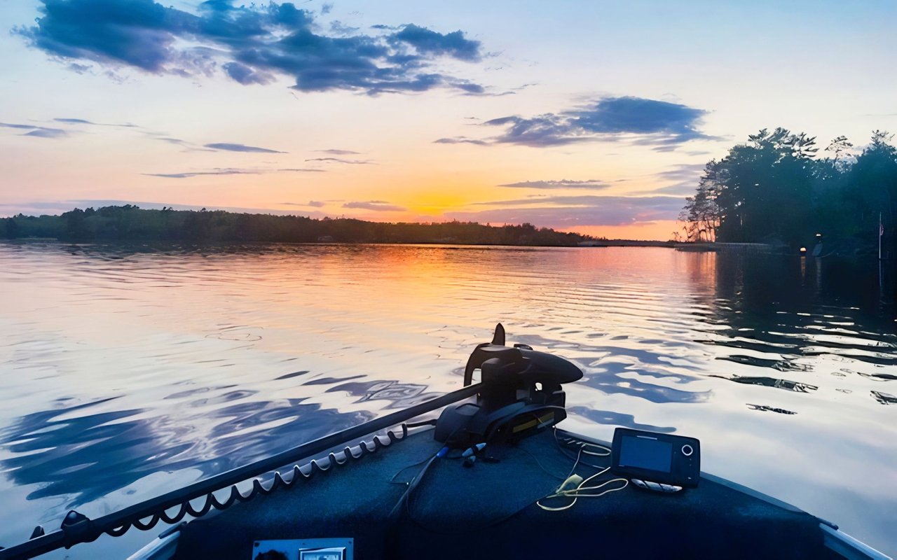
That scale is a big reason the lake feels like a collection of boating areas instead of one uniform body of water. From shallow bays to broad open basins to island-dotted stretches, your day on the water can feel very different depending on where you start.
The lake sits in St. Louis County between Tower and the Bois Forte community on the east and Cook on the west. The DNR also notes that parts of the north shore and some islands are within the Superior National Forest, and the north shore serves as an entry point to the Boundary Waters Canoe Area Wilderness.
How the Lake Shapes Daily Life
Lake Vermilion’s rocky shoreline, boulder-strewn edges, and shallow vegetated bays give it a distinct Northwoods character. The DNR says these habitats support walleye, muskellunge, northern pike, smallmouth bass, bluegills, crappies, and largemouth bass.
For you as a buyer, that matters because lake structure influences everyday living. Some areas are better suited for relaxed dock life and short boat hops, while others fit people who enjoy bigger water, longer cruises, and a wider range of fishing structure.
Pike Bay Lifestyle
Shallow Water and Easy Services
Pike Bay is the southernmost bay at the mouth of the Pike River. According to the MPCA and Vermilion Lake Association assessment, it is very shallow, with a mean depth of about 5 feet.
That shallow profile gives Pike Bay a different personality from the lake’s larger basins. It is often better understood as a service-oriented and launch-focused area than a wide-open cruising zone.
Current marina and lodge offerings support that idea. Pike Bay Lodge advertises a private boat launch, fuel, and pontoon and fishing boat rentals, which makes this area practical for getting out on the water and handling day-to-day boating needs.
Best Fit for Shorter Outings
If your ideal lake day starts with simple access and shorter boating runs, Pike Bay may feel convenient. It can be a strong fit for buyers who want a functional home base with nearby support services.
Big Bay Lifestyle
Open Water and Long Runs
Big Bay is the largest basin on Lake Vermilion. The assessment report describes it as about 41.5 square miles, with a mean depth of about 19 feet, a maximum depth of 76 feet, and a fetch of roughly 5 to 6 miles.
In everyday terms, Big Bay is the lake’s big-water personality. It offers broad scenic runs, expansive views, and access to varied fishing structure, but it can also feel less forgiving on windy days than smaller, more sheltered bays.
A Good Match for Big-Lake Buyers
If you imagine covering more water, exploring islands, and embracing the scale that makes Vermilion famous, Big Bay stands out. This is often the part of the lake that best represents Vermilion’s open-water lifestyle.
Wakemup and Wolf Bay Lifestyle
Transition Water and Outlet Travel
Wakemup Bay sits to the northwest and is moderately deep, with a mean depth of about 23 feet. The assessment report says water from Wakemup Bay and Big Bay flows northward to Wolf Bay, which is the outlet and the start of the Vermilion River.
That gives this west-northwest section a transitional feel. It bridges open-lake travel with a route that connects toward river-oriented movement.
A Different Kind of Boating Rhythm
For some buyers, that setting creates a nice middle ground. You still have access to larger lake experiences, but the surrounding geography can create a boating pattern that feels more connected and directional.
East-End Bays and Heritage Areas
Park Shoreline and Natural Character
The east end has a distinctly different feel. In the DNR’s Lake Vermilion-Soudan Underground Mine State Park materials, Armstrong Bay includes a day-use area with picnic shelters, water, vault toilets, a boat dock, and a fishing pier.
The same DNR materials describe Cable Bay as a wide reach of water dotted with rocky islands, while Mattson Bay is part of about 10 miles of park shoreline kept in a lush, wild condition. For buyers drawn to shoreline character and public recreation access, this part of the lake can feel especially memorable.
Stuntz Bay and Historic Boathouses
Stuntz Bay adds another layer. The DNR notes that the Stuntz Bay boat access sits beside more than 140 historic boathouses and a National Historic District.
That gives this area a traditional boating identity that feels visually distinctive on Lake Vermilion. If you are drawn to places with a strong sense of history and classic lake character, the east end is worth a close look.
Quieter Bays and Slower Mornings
Some of Lake Vermilion’s smaller, more sheltered pockets support a calmer boating routine. Everett Bay Lodge describes Everett Bay as a quiet bay that is centrally located on the east side, with paved-road access, a boat launch, rentals, gas, bait, and ice on site.
That kind of setting is useful to compare with Big Bay. Instead of emphasizing broad open-water travel, quieter bays often support easier dock life, slower mornings, and shorter rides between stops.
Islands, Fishing, and Shore-Lunch Culture
Why the Water Itself Is the Lifestyle
Boating on Lake Vermilion is about more than getting from one dock to another. The DNR highlights the lake’s diverse fish habitat, including rocky shorelines and shallow vegetated bays, and notes that walleye naturally reproduce in the lake.
That means different parts of the lake serve different fishing patterns. Vegetated shallows, rocky points, island edges, and deeper structure all shape how people use the water through the season.
Public Islands and Boat-In Destinations
The island network is a major part of everyday life here. The Bureau of Land Management manages 86 public islands on Vermilion and nearby lakes, and these islands are boat-in only and open for day use and overnight camping unless otherwise posted, with no permit or fee required to camp.
The BLM also notes that these islands are remote, lightly developed, and may have limited cell coverage and limited emergency access. In practical terms, they are true boating destinations, not casual roadside stops.
Shore-Lunch Stops Around the Lake
Shore lunch is also part of the rhythm on Vermilion. The Vermilion Lake Association map identifies eight shore-lunch sites, including Black Bay, Norwegian Bay North and South, Wolf Bay, Bear Creek, Bystrom Bay, Mattson Bay, and Swedetown Bay.
The association states that these are day-use sites only, not overnight camping sites. For many owners, that creates the kind of lake day people remember for years: a morning run, time on the water, lunch on shore, and an easy ride back to the dock.
Navigation and Access Matter
Plan for Real-World Boating
Lake Vermilion’s boating guide warns that you should not rely entirely on buoys or channel markers because they can shift with wind, waves, and current. On a lake with many islands and hazard areas, local knowledge and careful navigation matter.
This is one reason buyers benefit from understanding not just where a property sits on a map, but how that location functions in real boating conditions. A home that looks ideal on paper may fit your lifestyle differently once you factor in route complexity, exposure, and access.
Public Access and Launch Planning
The DNR says there are 17 public water accesses on Lake Vermilion, and overnight parking is allowed at 11 DNR-managed sites. The DNR also notes that Moccasin Point is being reconstructed in 2026, with Blackduck Bay serving as the nearest alternative during closures.
If you trailer a boat or host guests who do, public access points can become part of your property search. Convenience on the water often starts before the boat even leaves the trailer.
Aquatic Invasive Species Precautions
Access planning also means paying attention to current lake stewardship guidance. The DNR reported low densities of zebra mussel larvae in Lake Vermilion in September 2025 and advises boaters to clean, drain, dispose, and dry watercraft and equipment before moving between waters.
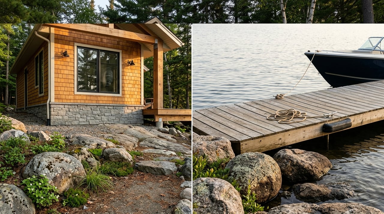
Marinas, Fuel, Food, and Everyday Convenience
The service network on Lake Vermilion is spread around the lake rather than concentrated in one place. Current examples in the research include Fortune Bay Marina in Tower, Timbuktu Marina in Oak Narrows, Vermilion Dam Lodge, Moosebirds in Cook, Pike Bay Lodge, and Gruben’s Marina & Resort.
Those locations offer a mix of services such as slips, rentals, fuel, bait, groceries, boat service, and fish-cleaning amenities. That spread-out support network is another reason the right bay often depends on your daily routine.
Food is part of the boating lifestyle too. Fortune Bay lists Aki Bistro, Gold Mine Grill, and North Star Bar, while Vermilion Dam Lodge offers dining options, and Everett Bay Lodge notes that Tower restaurants, groceries, the casino, and golf are a short ride away by boat or car.
What This Means for Buyers
If you are shopping Lake Vermilion homes for sale, try to match the property to the way you actually plan to use the lake. Big Bay may suit you if you want open-water runs and broad fishing structure, while Pike Bay or smaller coves may fit better if you prefer shorter and more sheltered outings.
The east-end park and heritage bays may appeal if shoreline character and historic lake atmosphere matter most. Central narrows and service-oriented areas can make sense if you want easier access to fuel, food, rentals, or repairs.
Shoreland rules also are not one-size-fits-all. Minnesota DNR says shoreland regulations are administered through county, city, or township authority, and LakeFinder is the place to verify access sites, regulations, lake maps, and related lake information.
The best Lake Vermilion property is not just about square footage or shoreline footage. It is about whether the bay, boating pattern, and support network fit the way you want to live on the water.
If you want help narrowing down the right part of the lake for your lifestyle, Chessica Olson can help you compare bays, boating routines, and property options with practical local insight.
FAQs
What makes Lake Vermilion different from other Minnesota lakes?
- Lake Vermilion is unusually large and varied, with 39,271 acres, 365 islands, and multiple basins that create very different boating experiences from one area to another.
What is Big Bay like on Lake Vermilion?
- Big Bay is the lake’s largest basin and is known for open-water boating, long scenic runs, and wind-sensitive conditions compared with smaller sheltered bays.
What is Pike Bay like for boating on Lake Vermilion?
- Pike Bay is shallow, with a mean depth of about 5 feet, and is often associated with launch access, fuel, rentals, and shorter boating outings rather than broad open-water cruising.
Which Lake Vermilion areas have historic boating character?
- Stuntz Bay and nearby east-end areas stand out for historic boathouses, a National Historic District, and shoreline features tied to Lake Vermilion’s heritage.
Are there public islands on Lake Vermilion?
- Yes. The Bureau of Land Management manages 86 public islands on Vermilion and nearby lakes, and they are boat-in only and generally open for day use and overnight camping unless otherwise posted.
Are there shore-lunch sites on Lake Vermilion?
- Yes. The Vermilion Lake Association identifies eight shore-lunch sites around the lake, and they are designated for day use only.
How many public boat accesses are on Lake Vermilion?
- The Minnesota DNR says Lake Vermilion has 17 public water accesses, with overnight parking allowed at 11 DNR-managed sites.
How should you evaluate Lake Vermilion homes for sale by bay?
- You should compare each area based on your boating habits, including exposure to wind, travel distance, access to marinas and fuel, shoreline setting, and the kind of day-to-day lake use you want most.