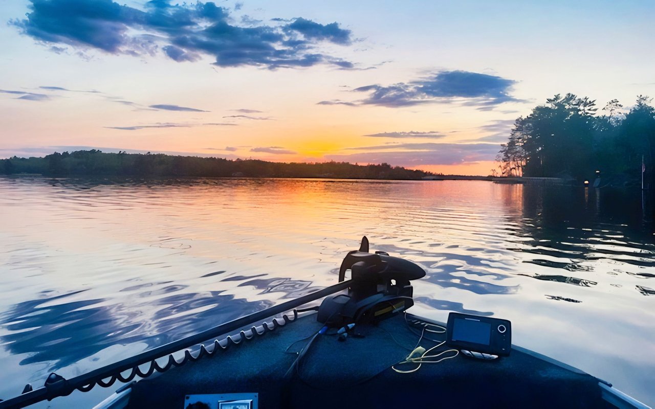
At a fall showing on Pelican Lake, the waterline tells a story of drought. Every DNR reading this year, through late August, sat below the lake's official reference line. The strip of exposed sand and rock in front of a cabin this October belongs to the drought.
This matters more on Pelican than on most lakes in the region, and the reason is the dam.
A Dam That Sets a Floor, Not a Level
Pelican Lake's outlet is a fixed weir at County Road 23. According to a December 2012 Minnesota DNR memo, the dam was reconstructed in 2002 with the same run-out elevation as the old one. A small opening in the center weir and culvert keeps some water moving downstream when the lake drops below that run-out. Nobody turns a gate up or down for summer pool. In a dry year the lake sits wherever rain and evaporation leave it.
The lake has already tested this once. In the fall of 2011, after citizen concerns over low water, the 10-by-12-inch window in the center weir was blocked to hold more water in the lake during drought. That winter the downstream channel went to a no-flow condition, and fish stranded below the dam in the Pelican River were killed. In the memo, the DNR said it would reopen the window. It calculated that the opening drains about 0.36 inches a month, or 4.3 inches a year, which isn't enough to meaningfully lower the lake. The memo also states that tampering with the dam or the opening is unlawful.
The 2012 memo settles one practical point for buyers. On Pelican Lake, a low year can't be fixed at the outlet. Any recovery has to come from the sky.
What 2026 Looked Like on the Gauge
The DNR has tracked Pelican Lake's level since 1938. The record high is 1289.74 feet, set June 18, 1944. The record low is 1286.72 feet, set Oct. 25, 2006. That's a total range of 3.02 feet. The Ordinary High Water Level, or OHWL, is 1288.4 feet.
Lined up against that reference, the past three open-water seasons tell a clear story:
| Season | Highest reading | Lowest reading | Gap between peak and OHWL |
|---|---|---|---|
| 2024 | 1288.57 ft, July 7 | 1287.29 ft, Oct. 7 | Peak sat 0.17 ft above |
| 2025 | 1288.13 ft, July 30 | 1287.48 ft, Oct. 5 | Peak sat 0.27 ft below |
| 2026, through Aug. 28 | 1287.75 ft, May 11 | 1287.18 ft, July 20 | Peak sat 0.65 ft below |
In 2024 the lake reached its OHWL and stayed near it for several weeks of late June and early July. In 2025 it came within a few inches. Through the end of August 2026, it never got closer than about eight inches. Even its best spring reading was lower than most of the 2024 summer. The July 20 low of 1287.18 feet sat 1.22 feet below the OHWL. That's lower than any reading in the 2024 or 2025 records, and less than half a foot above the 2006 record.
The most recent DNR reading, taken Aug. 28, was 1287.48 feet, still 0.92 feet below the OHWL. The weather hasn't helped since. The Drought.gov dashboard for St. Louis County, using data valid Oct. 20, shows the entire county in drought: 64.87% moderate, 34.51% severe and 0.62% extreme. The U.S. Drought Monitor summary released Oct. 22 described conditions in Minnesota as largely unchanged and noted persistent deficits in northern Minnesota.
In August, the Timberjay reported that a DNR climatologist described a four-year precipitation deficit of 12 to 16 inches in north-central Minnesota.
The Line That Doesn't Move With the Water
The OHWL doesn't move with the water in a given year. The Minnesota DNR defines it for lakes as the highest water level maintained long enough to leave evidence on the landscape. That's commonly the point where natural vegetation changes from mostly aquatic plants to mostly land plants. The DNR's permit guidance adds that local governments use the OHWL as the reference elevation for structure setbacks from water bodies.
For most of the recorded season, Pelican Lake sat roughly a foot below the OHWL. On a gentle shoreline, a foot of vertical drop can expose a wide band of beach. St. Louis County administers zoning under Ordinance 62 and maintains a zoning map. Setback distances depend on how the lake and the parcel are classified, so confirm them directly for any specific lot. The DNR suggests asking the local area hydrologist where the OHWL sits on a particular water body.
The shape of Pelican Lake makes this gap easy to see. The lake covers 11,546 acres with 55.71 miles of shoreline but reaches only 38 feet at its deepest. The DNR's 2022 survey found that slightly over half its area is littoral habitat, the shallow, plant-growing zone near shore. On a lake shaped like that, a drop in level moves the shoreline outward more than it would on a steep-sided basin.
Where a Foot Shows Up at the Dock
In July, WDIO reported that John Niemiste of Aronson Boat Works estimated Lake Vermilion was down about two feet. Some customers had taken their boats out because they couldn't use their lifts, the mail boat couldn't reach a few places, and spots near the floating docks had been marked off. Niemiste also told WDIO, "the lake does recover quickly, so if we get 2-3 inch rainfall, it could go up 4-6 inches."
Pelican Lake didn't fall as far, but it started lower, and every recorded reading through Aug. 28 sat below its reference line. A dock and lift set up for a 2024-style summer reached water that was more than a foot shallower by late July 2026. That changes what you're actually buying with a waterfront package. It also matters for the lake's island and boat-access parcels. Orr's city site describes the lake as having more than 50 islands, and for an island cabin, the landing on both ends of the trip has to work at the water level that year.
Getting to the water from shore matters too. The DNR survey lists a concrete city access on Orr Bay, three county accesses and a DNR concrete access by County Road 23. The city park also has a swimming beach and a fishing pier. The County Road 516 access has a single gravel ramp, room for two vehicles with trailers, and no dock or restrooms. If you plan to keep a boat on a trailer instead of at your own dock, launch conditions at the ramp you'd actually use become part of the property's value in a low year.
Reading a Pelican Lake Showing Before Freeze-Up
With the last DNR reading from late August and the county still fully in drought as of Oct. 20, here's what to check during a fall walk-through:
- Pull the gauge history. The DNR LakeFinder level report for Pelican Lake shows every reading back to 1938. Compare the date of your showing with how the lake looked in 2024, when it reached its OHWL.
- Measure depth at the end of the dock, not the middle. Then picture that number about a foot higher. That's roughly where the water sat in mid-summer 2024.
- Ask how the lift has been used this year. Lake Vermilion boat owners pulled their boats this summer because their lifts wouldn't work, so on any shallow frontage it's a fair question.
Common Questions
Can the dam be adjusted to bring the lake back up? Not the way a gated reservoir can. The 2002 weir has a fixed run-out elevation, and when the weir window was blocked in 2011, the result was a downstream fish kill, and the DNR decided to reopen it.
How low has Pelican Lake ever been? The DNR record low is 1286.72 feet, from Oct. 25, 2006. The 2026 low through August was 1287.18 feet on July 20.
Does Lake Vermilion have the same issue? Lake Vermilion was estimated to be down about two feet in late July, according to WDIO's reporting. It's a different lake with its own outlet, so its gauge history is worth checking separately.
If you're looking at a Pelican Lake cabin or island parcel near Orr before freeze-up, Chessica Olson can walk the shoreline with you and check where the dock reaches in a normal year. If you own on Pelican Lake and want to know how a low-water fall affects your listing, start with Get Your Instant Home Valuation.