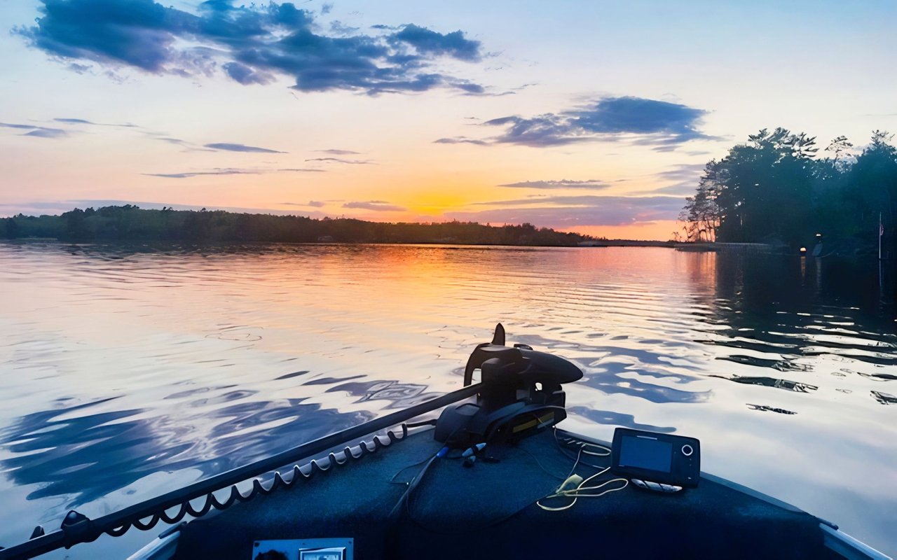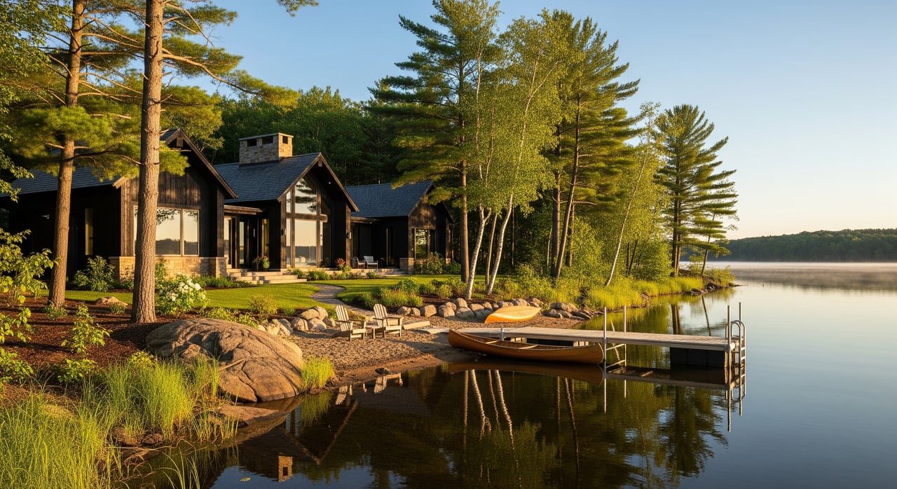
Dreaming about a cabin on Lake Vermilion or a year-round home near Ely or Tower? Before you fall for that shoreline view, it helps to understand how shoreland rules shape what you can build, clear, and dock. The rules are there to protect water quality and the natural character that drew you here in the first place. In this guide, you’ll learn the essentials, what to check before you buy, and where to get official answers so your plans stay on track. Let’s dive in.
Shoreland rules at a glance
Minnesota sets statewide shoreland standards, and counties adopt and enforce local ordinances that meet or exceed those minimums. In St. Louis County, shoreland zoning and permitting are handled through county planning and land services. You can find ordinance texts, permits, and contacts on the St. Louis County official website.
The Minnesota Department of Natural Resources (DNR) provides technical guidance on shoreline basics, including how the legal shoreline line is determined. If you want to understand terminology or statewide standards, start with the Minnesota DNR’s shoreland resources.
Start with the OHWL
The Ordinary High Water Level (OHWL) is a key concept. It marks the typical high-water line on a lake or river and becomes the baseline for many rules. Setbacks and protected zones are measured from the OHWL, not from the edge of the water on a particular day.
To find the OHWL for your property, you can rely on county or DNR mapping, recorded surveys, or a field determination by county staff or a licensed surveyor. If you plan to build or place a septic system, getting the OHWL located on a current survey is a smart first step. The DNR explains the concept on its site, which you can find through the DNR’s main page.
Setbacks and building placement
Setbacks are the required distances between structures and key features on the land. In shoreland areas, the most important setback is from the OHWL. You will also find setbacks from steep slopes, bluffs, and septic systems.
Expect different setback requirements depending on the waterbody classification and the local ordinance. Homes, decks, garages, boathouses, sheds, and septic tanks all need the right spacing. Some counties allow reduced setbacks with mitigation or special permits, but that is property specific and requires county review.
Lot size, frontage, and density
Shoreland ordinances regulate minimum lot area and minimum lot width at the shoreline. These standards help avoid crowding and protect the lake’s health. If you are buying a smaller or older parcel, confirm whether it is considered a legal lot and whether it is buildable under today’s rules.
You may hear the term “legal nonconforming.” That means a lot or structure that does not meet current rules but was lawful when created. Nonconforming status comes with limits on what you can change without approvals. Ask for documentation and check county records so you know where you stand.
Vegetation and shoreline buffers
Native vegetation near the water acts like a filter and helps prevent erosion. That is why counties protect buffer areas close to the OHWL and limit clearing within shore impact zones. You can often maintain access paths and selectively prune for views, but clear-cutting is usually not allowed.
If you do remove vegetation, replanting with native species may be required. For larger projects, a plan that includes erosion controls, plant lists, and timing can speed approvals. Before you cut trees for a view, talk with county staff to learn what is allowed on your lot.
Docks, piers, and boathouses
Most property owners can place and use a dock if they stay within size and placement limits. Larger docks, shared dock systems, or special mooring setups may need permits. Boathouses and boatports are treated differently than docks and often have limits on size, height, and use.
Because docks and shoreline structures can affect public waters, some projects may need county approval and DNR review. The DNR provides statewide guidance you can reach through the DNR website. For county permits and contacts, start on the St. Louis County website.
Septic systems and real estate inspections
Septic systems in shoreland areas must meet state and local standards. New, replaced, or expanded systems need permits and must be set back from the OHWL, wells, and structures. During many real estate transactions, a septic inspection is required to verify compliance or identify a needed upgrade.
If you plan a new build or replacement, talk with a licensed septic professional early. The Minnesota Pollution Control Agency (MPCA) offers statewide septic rules and homeowner resources at the MPCA website. Your county environmental health office and the county permitting team will guide you on local submittals.
Land alteration, grading, and stormwater
Shoreland ordinances regulate excavation, fill, and impervious surfaces to keep sediment and nutrients out of the lake. If you are adding a driveway, expanding a patio, or reshaping a slope, you may need a permit and an erosion control plan.
Shoreline stabilization is also regulated. Hard armoring like riprap or retaining walls often requires more scrutiny than naturalized approaches such as bioengineering and native plantings. County permits are standard, and projects that affect public waters can trigger DNR or even federal review.
Nonconforming structures and variances
Many Northwoods cabins were built before current rules. That does not mean you cannot improve them, but expansions and rebuilds are limited without approvals. Counties outline what you can do by right and where you need a permit or variance.
A variance is a formal request to deviate from the rules when strict enforcement would cause practical difficulties. Variances require findings of fact and public notice, and approval is not guaranteed. If your plan needs a variance, start early, prepare a complete site plan, and talk with county staff about expectations.
Buying near Ely and Tower: what to check
Waterfront parcels around Ely, Tower, and Lake Vermilion often sit within a shoreland overlay. That means extra rules and extra due diligence. Before you write an offer or remove contingencies, confirm these items:
- Verify whether the parcel lies in a shoreland zoning district using the county’s parcel or zoning map, accessible from the St. Louis County website.
- Confirm the OHWL for the waterbody and locate that line on the property through county records, DNR references, or a current survey.
- Ask the seller for prior permits, septic records, shoreline stabilization permits, and any vegetation clearing approvals.
- Determine if the lot is legal and whether it is considered nonconforming under current rules. Check for easements, covenants, and association rules that affect shoreline use.
- Evaluate septic location and condition and whether replacement is feasible while meeting setbacks and soil conditions.
- For planned improvements, request pre-application guidance from county planning staff. Ask whether state DNR or federal approvals might be needed in addition to county permits.
- Line up licensed professionals early: surveyor, septic designer, and a qualified shoreline contractor or landscape professional.
Common Lake Vermilion scenarios
Buying an older cabin close to the water
Older cabins may sit closer to the lake than today’s rules allow. You can usually maintain or repair the structure, but enlarging the footprint or height may be restricted. If you hope to expand, talk with county staff about options and whether mitigation or a variance could apply.
Building a new home on a wooded lot
Confirm minimum lot size and shore frontage, then map your buildable area after accounting for wetlands, slopes, and OHWL. Plan your driveway, septic, and house location together to meet setbacks and minimize soil disturbance. A clear site plan gives reviewers what they need to respond quickly.
Replacing or adding a dock
Simple docks often proceed with minimal paperwork if they meet size and placement rules. Larger or shared systems can require more review. Ask county staff first, and check statewide guidance through the DNR’s main site.
Clearing trees for a view
Counties typically allow selective pruning and limited clearing in buffer zones under defined limits. Full clear-cutting is not allowed, and replanting may be required. A vegetation plan can help you achieve a view while protecting shoreline stability.
Stabilizing an eroding bank
Naturalized approaches using native plants and bioengineering are often preferred and can be more flexible to permit. Hard armoring is sometimes necessary but usually demands stronger justification. Coordinate early if the work touches public waters so you can meet county and DNR requirements.
Subdividing a shoreland parcel
Subdivision triggers stricter standards. Minimum lot area and shore frontage must be met, and conservation design may be encouraged in sensitive areas. Engage the county early to understand feasibility and timing.
Permits and process: a simple path
You will see several common permit types in shoreland projects: zoning or building permits, shoreland alteration or impervious-surface permits, septic permits, dock approvals, and sometimes conditional use permits. Larger or more complex projects may need a public hearing.
A typical path looks like this:
- Sketch your goals and prepare a basic site plan showing the shoreline, OHWL, proposed structures, and access.
- Contact county planning staff for a pre-application review. Start at the St. Louis County website to find the correct office, forms, and checklists.
- Confirm whether state or federal approvals are involved for any work that could affect public waters or wetlands. For statewide context, use the Minnesota DNR site.
- Hire licensed professionals for surveys, septic design, and shoreline work. Their plans and stamps can speed approval and reduce revisions.
- Submit complete applications with fees. Be ready for site inspections. Variances or conditional uses will extend the timeline and involve public notice.
Why local expertise matters
The Ely and Tower area includes lakes with different classifications and unique shorelines. Lots can be steep, wooded, and close to sensitive waters. Local experience helps you read a site, anticipate limits, and design a plan that fits the rules and your lifestyle.
As a lake-property specialist with on-the-water experience, I routinely help clients gather records, coordinate surveys, and plan dock, septic, and vegetation work in step with county review. If you want practical guidance from search to closing to first launch at the dock, you are in the right place.
Ready to move forward with clarity and confidence on Lake Vermilion or nearby waters? Connect with Chessica Olson for local guidance, property tours, and step-by-step support.
FAQs
What is the OHWL and why is it important in St. Louis County?
- The Ordinary High Water Level is the legal shoreline line used to measure setbacks and protected zones, and it guides where you can place structures and septic systems.
How do I find out if my lot is in a shoreland zone near Ely or Tower?
- Use the county’s parcel or zoning map through the St. Louis County website or contact county planning staff to confirm the property’s shoreland status.
Can I expand an older cabin that sits close to the lake?
- Possibly, but expansion is often limited for nonconforming structures, and larger changes may need a variance with county review and findings of fact.
Do I need a permit to put in a dock on Lake Vermilion?
- Many standard docks are allowed if they meet size and placement limits, but larger or shared systems may need county approval and sometimes DNR review.
Are there special rules for cutting trees to improve my view?
- Yes, selective clearing is usually allowed under limits, while clear-cutting is restricted, and replanting with native species may be required in buffer zones.
Will I need a septic inspection when buying a shoreland home?
- Inspections are common in shoreland real estate deals to verify system condition and compliance with state and local standards before closing.
Where can I get official answers on setbacks and permits?
- Start with the St. Louis County website for local ordinances and permits and the Minnesota DNR site for statewide shoreland guidance; the MPCA site covers septic rules.